3D GIS for planning electric power systems
Europe’s energy suppliers need to expand or renew their grid to provide decentralized energy supply and to fulfill future requirements concerning grid stability. But where should future power lines be located? The current project of ETH Zurich tackles this issue by developing a 3D Decision Support System (3D DSS).
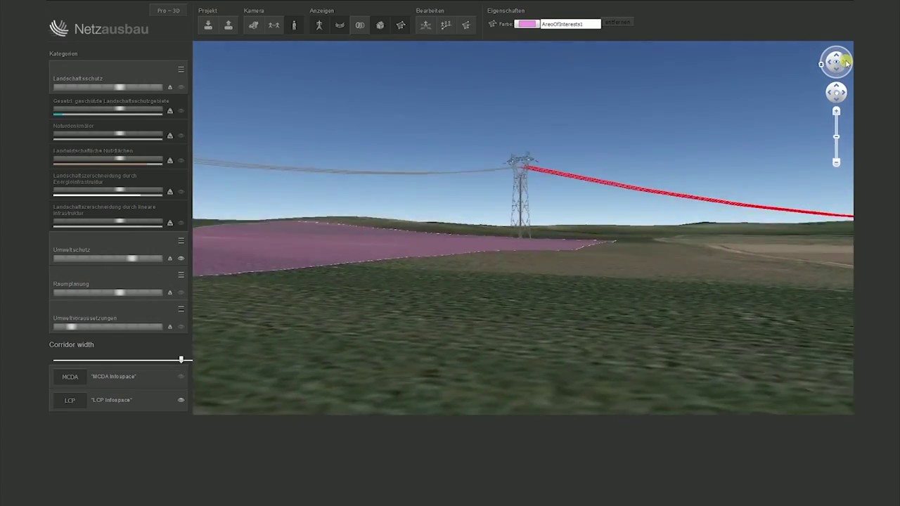
The 3D GIS project is funded by the Swiss Federal Office of Energy SFOE and by the grid operators Swissgrid, BKW Energie AG, and Austrian Power Grid. It aims at developing a realistic grid planning approach that fosters transparency and saves time. The developed 3D DSS considers various factors concerning environment, urban planning, and technical feasibility to calculate the optimal corridor and its approximate costs. As the assessment of these factors may vary amongst different stakeholders, the 3D DSS uses Multicriteria Decision Analysis (MCDA) as a way to represent different opinions. MCDA is then combined with approaches from Geographic Information Science to solve this multi-criterial problem spatially. For this purpose, a user assesses the relevant factors on a web platform, which are then computed and visualized in 3D (see the Youtube clip below).
We tried to model the corridors as realistically as possible by investigating different study areas in Switzerland and Austria. Compared to similar approaches, we utilize a novel method to calculate a decision’s influence on the result. Furthermore, geospatial concepts were used to develop a realistic model that represents how worthy an area is of being protected. To date, we conducted two workshops and evaluated the results of three user studies to improve the 3D DSS. In the final project phase, scheduled for fall 2017, we will evaluate the effects of the different MCDA methods through a sensitivity analysis. Furthermore, a method will be developed to allow integration of LiDAR data into the 3D DSS in order to get a more realistic impression of the virtual reality.
More information about the project can be found on the project website.
The people involved in this project are Prof. Martin Raubal, ESC member and head of the Geoinformation Engineering, and Joram Schito.
The Chair of Geoinformation Engineering has its research foci in the areas of mobility and energy.